Oregon has a new scenic bikeway.

One of the things that sets Oregon apart from other states is that it is the only state in the union that has designated scenic bikeways – not just one or two, but sixteen of them! The newest one is the Sherar’s Falls Scenic Bikeway near Maupin, OR. Yesterday, we rode the flattest section (17 miles out and back) of the 33.4 mile loop, along the Deschutes River.

The Sherar’s Scenic Bikeway is considered a moderately challenging loop because there are some extended climbs, though not killer, and it is located in high desert canyon country, which can be hot in summer. Being summer and the lazy, old folks that we are, we chose to bike only the relatively flat section along the federally designated Wild and Scenic Deschutes River.

We started at Sherar’s Falls which is located on Warm Springs Tribal lands. It is the last falls of the Deschutes before it meets the Columbia River 44 miles north. Warm Springs tribal members use the falls area to fish for salmon by standing on wooden platforms that extend out over the rapidly churning river. From there, the bikeway is along a BLM Access Road that hugs the river all the way into the small town of Maupin (pop. 423). (By the way, you can park in designated parking areas along the access road with your NW Forest Pass or other federal pass or day use pass for $5. We did’t drive that far before we parked, and ended up paying $10 each to the Warm Springs Tribe to park in their day use area by the falls. I don’t mind supporting the tribe, but if you want to save some bucks, park on the BLM Access road)
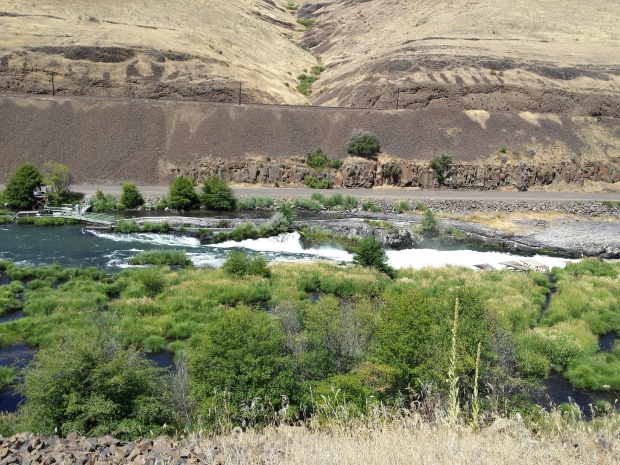
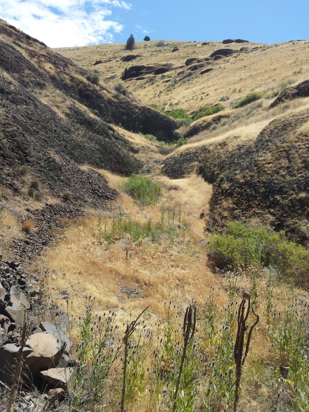
The scenery is dramatic. High canyon walls of basalt and boulder cobble rise above the river at sometimes steep angles. Trees are scarce except in patches along the river edge. Sagebrush dominates the desert hills that have soil and adds a sweet aroma to the clean, clear air.


The day was clear and warm. Before we had biked a mile, we spotted a bald eagle perched high on a basalt column looking for fish in the river below. Crickets chirped. Golden eagles and turkey vultures soared overhead. While scanning the cliffs for eagles and sheep, Keith spotted a mule deer tucked under the shade of a lone tree across the river.

It was a beautiful day to be on the water and the river rafters were abundant. We saw several groups of floaters enjoying the swift flow of water, including three sets of Outward Bound boats loaded with camping gear and teenagers. The section of the Deschutes between Warm Springs and Sherar’s Falls is the most heavily rafted section of the river.

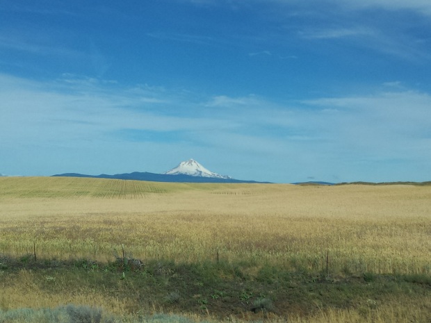
As we approached the town of Maupin, big, beautiful houses clung to the canyon walls and an old grain elevator gave a hint of the agricultural influence in the area. The bikeway loop is surrounded in almost every direction by wheat fields.
We stopped at Maupin City Park to eat our snack and watch the rafts launch. The tiny town of Maupin perches several hundred feet above the river. It seemed like 80% of the businesses were rafting outfitters. It has a cute, walkable main street decorated with hanging baskets of flowers.
The ride was easy, in spite of some headwinds going toward Maupin. In fact, we couldn’t believe we got there so fast. So, on our way back downstream we stopped to investigate some of the day use areas and soak in the scenery. It was a a beautiful, easy ride. Maybe next time we’ll do the whole 33!
Have you biked this scenic bikeway yet? What did you think?

We’re moving to Bend in at the end of August! (from Southern CA!) so I’m sure to post adventures at some point too!
LikeLike
Sandi – you will have some great adventures around Bend, for sure. I love central Oregon and the high desert. Good luck with your move!
LikeLike